Complex 3D data visualization
Large drone, LiDAR, and photogrammetry files needed to be displayed smoothly in the browser.
A browser-based 3D visualization platform for AUAV that turns drone and geospatial data into interactive digital twins. Teams inspect assets, measure, annotate, compare site progress, and collaborate directly inside the 3D model.
Outcome: Construction, infrastructure, mining, energy, and asset management teams work with high-resolution site data in a browser — no heavy desktop software, no specialist workstation.
Start your Ai-First Project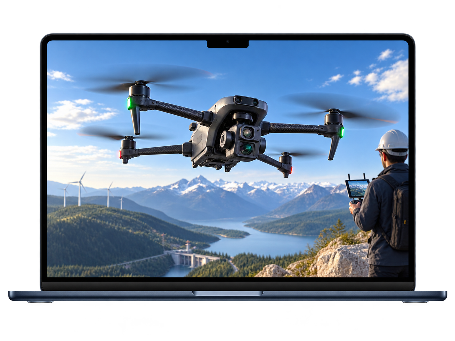
The platform transformed how site data is visualized, shared, inspected, and analyzed. Teams could access accurate 3D site models remotely, reduce on-site visits, collaborate faster, and make better decisions using visual site intelligence.
AUAV is a drone-based site capture solutions provider helping industries collect, process, and visualize aerial data for inspections, planning, monitoring, and asset management.
The platform was built to support teams working with complex geospatial data across large-scale projects. It enables users to access accurate 3D site models, linked inspection photos, spatial overlays, measurement tools, and collaboration workflows from a standard web browser.
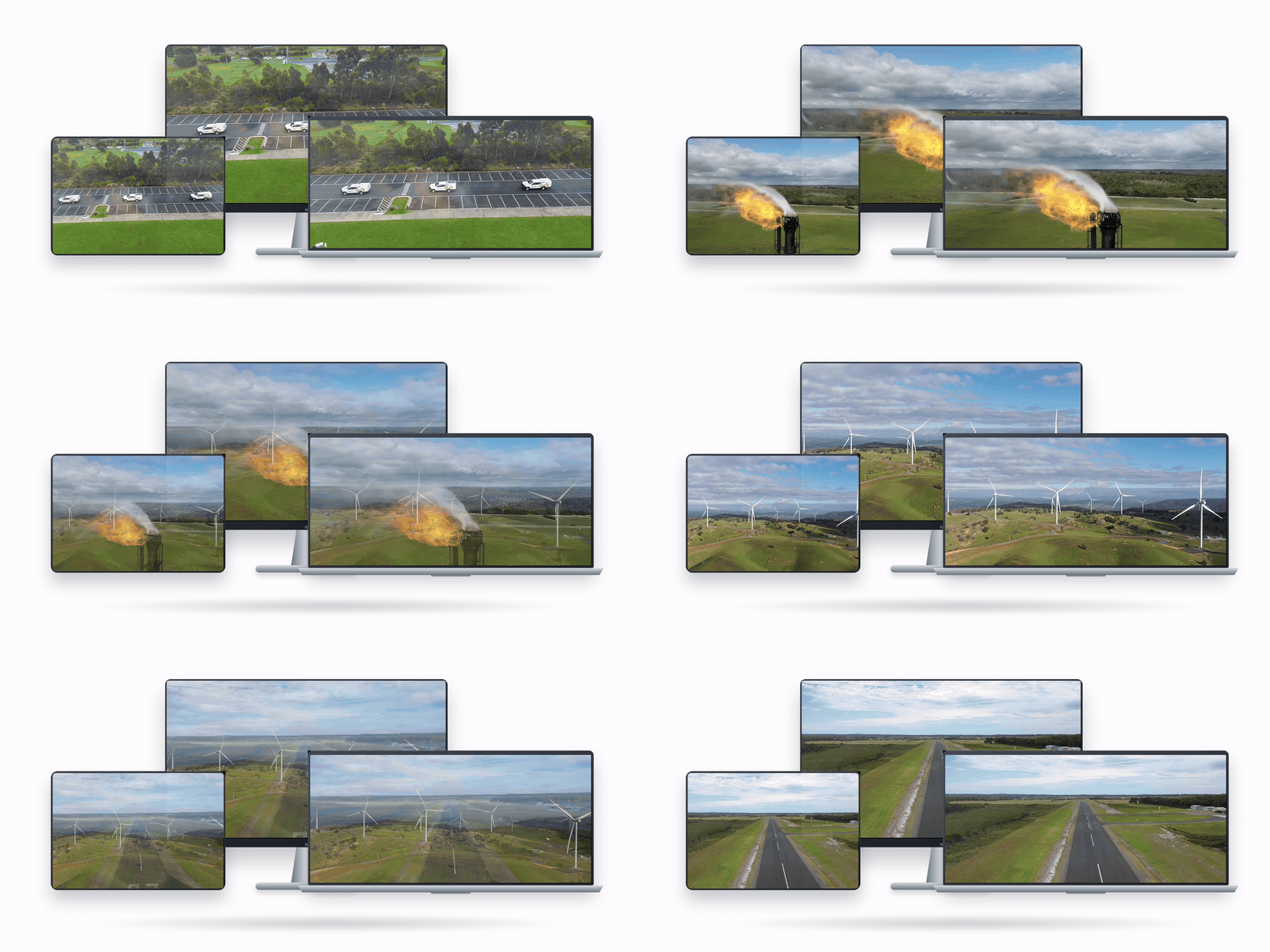
Managing drone and geospatial data across large project sites can be complex. AUAV simplifies this by turning drone-captured data into interactive 3D digital twins that teams can access directly from a web browser. Users can inspect assets, view linked photos, measure site conditions, add annotations, compare progress, and collaborate in one centralized platform.
Users can view detailed 3D site models generated from drone, photogrammetry, and LiDAR data.
Inspection photos are connected to specific points in the 3D model, helping teams review assets with spatial context.
Users can measure distances, areas, and volumes directly inside the 3D environment.
Teams can add notes, tags, issue discussions, and collaboration threads within the model.
The platform supports rust detection, corrosion detection, and electric pole detection using computer vision models.
Drone, LiDAR, GIS, BIM, satellite data, KML, GPX, GeoJSON, 360° imagery, video, and IoT feeds can be layered into the platform.
Users can compare site conditions over time using visual toggle and change detection tools.
Real-time feeds can be connected for asset monitoring and operational visibility.
Drone and geospatial data often produce large, complex datasets that are difficult to review using traditional tools. Teams needed a simple way to visualize 3D site models, inspect assets, compare project progress, and collaborate without relying on heavy desktop software or disconnected workflows.
The client needed a platform that could support high- resolution 3D models, linked photo inspection, GIS/BIM overlays, measurement tools, annotations, live data feeds, and secure cloud
based access.
Large drone, LiDAR, and photogrammetry files needed to be displayed smoothly in the browser.
Photos, reports, drawings, and site notes were often managed separately from the 3D model.
Teams needed a shared environment for annotations, comments, measurements, and issue discussions.
Users needed easy online access without installing specialist desktop tools.
We engineered a feature-rich web platform that allows users to securely view, inspect, measure, annotate, and manage drone-captured site data through interactive 3D models.
The platform combines drone imagery, LiDAR, GIS, BIM, 360° media, satellite data, KML, GPX, GeoJSON, documents, and live IoT feeds into one centralized digital twin experience.
High-resolution drone and site data displayed as interactive 3D digital twins.
Users can click within the model to view detailed inspection photos of assets and site areas.
Teams can measure distances, areas, and volumes, then add comments, tags, and issue discussions.
The platform supports drone data, LiDAR, GIS, BIM, 360° imagery, video, KML, GPX, GeoJSON, and satellite layers.
Users can host drawings, PDFs, reports, before/after datasets, and live IoT feeds for better project visibility.
AUAV is a full-stack 3D digital twin and drone data visualization platform. Each layer was designed to support high-resolution 3D model viewing, drone data processing, linked asset inspection, geospatial overlays, measurement tools, annotations, AI object detection, secure document hosting, and scalable browser-based access for infrastructure, construction, mining, and asset management teams.
Frontend & 3D Visualization Layer
Built the interactive browser-based 3D viewer, allowing users to explore high-resolution digital twins, spatial layers, annotations, linked photos, and measurement tools.
Backend & API Layer
Managed users, project data, annotations, comments, asset records, permissions, and platform workflows through scalable backend services.
Cloud Storage & Delivery Layer
Supported secure storage and fast delivery of large drone datasets, 3D models, documents, imagery, and media files.
AI & Object Detection Layer
Enabled machine learning workflows for detecting rust, corrosion, electric poles, and other infrastructure elements from drone imagery.
Geospatial Data Layer
Allowed users to combine multiple project data sources into one visual environment.

Tell us about the project and we’ll reply within one business day.
Thanks — we’ll be in touch within one business day.
